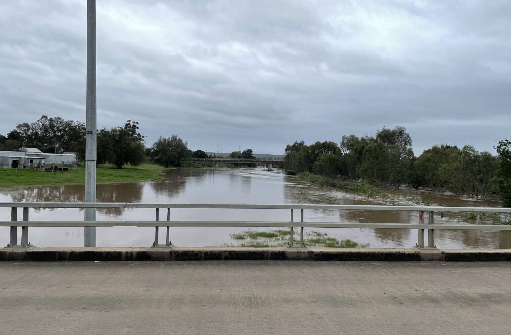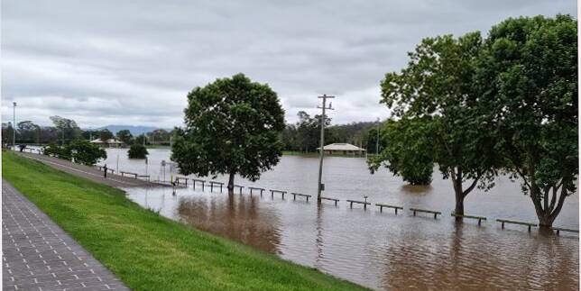

For the second time this year Singleton recorded a moderate flood event from the Hunter River.
Subscribe now for unlimited access.
$0/
(min cost $0)
or signup to continue reading
The first flood was in late March when the river reached a peak of 12.16metres inundating the floodplains surrounding the town and cutting off major access routes like Bridgman Road.
On Sunday morning Singleton SES reported the river had peaked at 21.71m - rated as a moderate flood and once again cutting Bridgman Road and this time also causing water to impact the New England Highway at Dunolly.
Unlike the March flood evacuation orders were issued early on Saturday evening for Whittingham. Scotts Flat, Glenridding and Dunolly and Combo. Once floodwaters reach 11m water begins inundating the affected areas road access and water, sewerage, power, phones and internet may be lost.
Fortunately all residents of the evacuated areas were able to return to their properties by Monday.
The last time there were two flooding events in one year according to longterm residents is most likely to have occurred in the 1970s - when flooding was a continual event.

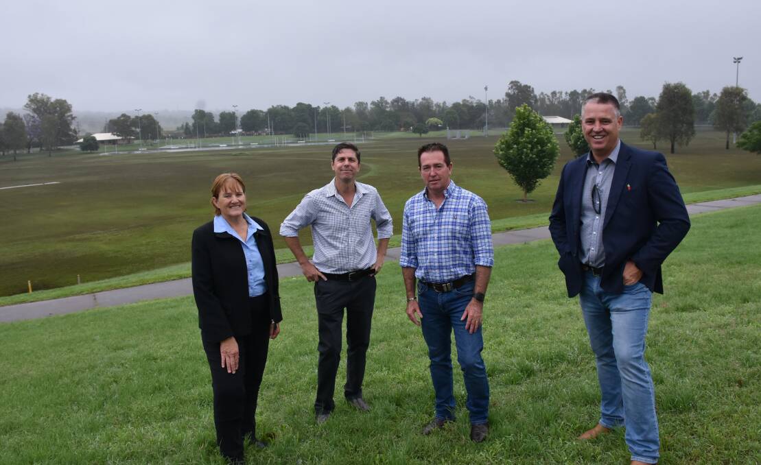
Speaking to the Deputy Premier Paul Toole during his visit to Singleton on Tuesday to inspect the flood damager Singleton Council, general manager, Jason Linnane said the extent of that damage would not be known until the floodwaters had fully receded.
"We still have residents isolated by floodwaters such as those at Goorangoola so we will be assessing bridges, roads and creek crossings in the coming days," he said.
Mr Linnane praised all the emergency services involved in the flood's management.
"Our SES in Singleton are fantastic and their work is much appreciated and so is the police ably led by Inspector Jo Schultz," he said.
"Although no one wants to have these types of events with each emergency we learn news skills and tools to better manage the next one.
"For example NSW Surf Lifesavers were in town operating their drones and assisting the SES. That drone footage will be used for future reference and training which will once again improve the management of the inevitable next flood."
November rainfall figures source Bureau of Meteorology : Branxton 298mm, Elderslie 220mm, Bulga 195mm, Mirannie 283mm, Cranky Corner (Tangory Mountain) 362mm, Singleton (Army Base) 231mm, Milbrodale School 193mm and Pokolbin 140m


